Resource Protection & Green Infrastructure

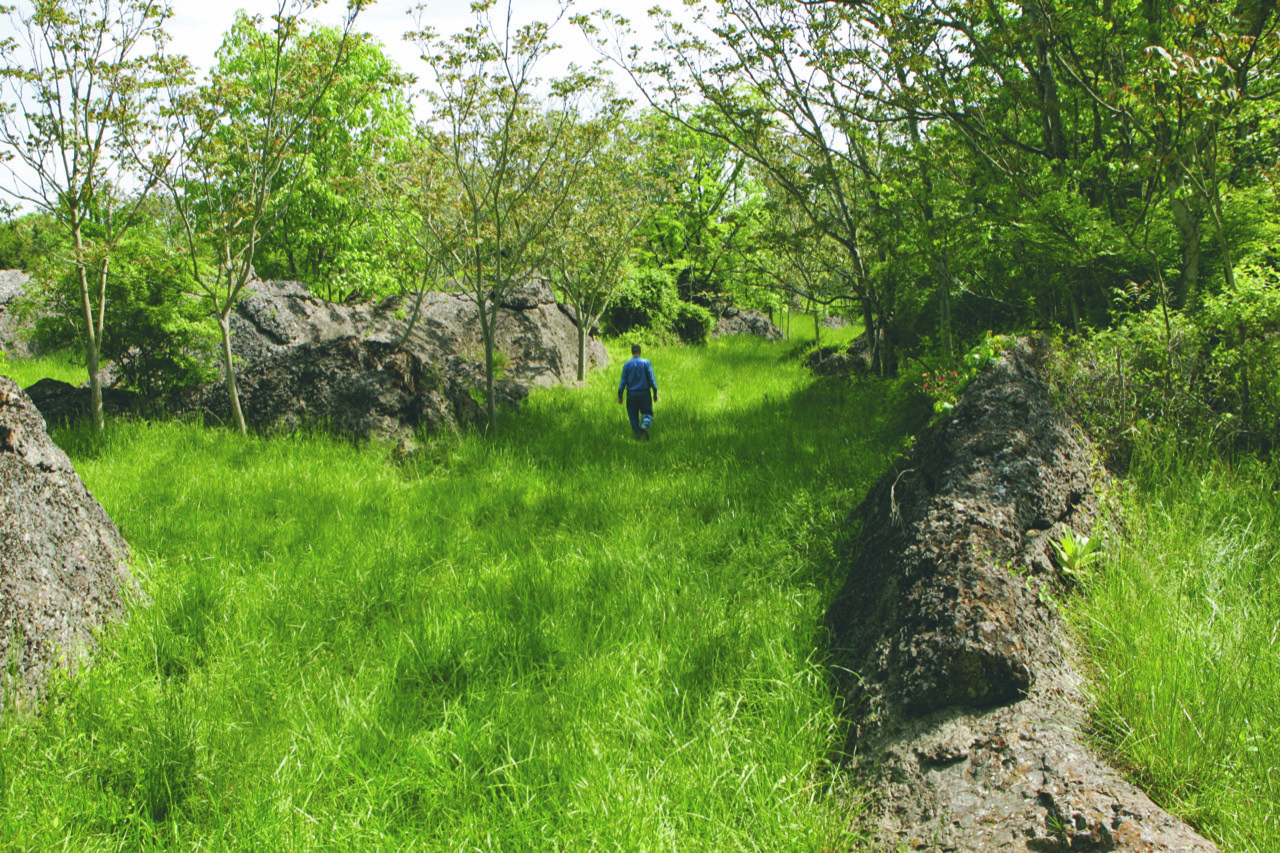
Cattle farmer John Adams walks a Northern Loudoun pasture, amidst limestone outcrops. [Image courtesy Mary Gustafson]
The EMERALD RIBBONS project work group monitors environmental issues in Loudoun that underpin healthy ecological systems, such as the Limestone Overlay District, rivers, streams, and wetlands, steep slopes, and pollution sources. Its partner members conceived the Emerald Ribbons linear park concept adopted by the Board of Supervisors in 2018. County staff began working on the plan, and in 2023 hired a consultant to come up with a different name. You can read about Loudoun’s Trails & Waterways on this county web page.
The abundance, or scarcity, of groundwater that residents in Western Loudoun rely upon is a circumstance of county’s diverse geology: a north-south limestone karst strip bisects much of the county (see image above), with the west characterized by metamorphic and volcanic formations and the east by sedimentary ones. And we have a lot of data on that water in part because from 1963 to 1977 The U.S. Geological Survey established three groundwater monitoring wells in and near the county. Here you can review some of that data, presented at the October 2024 Coalition meeting.
Past work on Watershed Management and Flood Plain Protection can be found HERE.